Understanding Radio Occultation
GNSS radio occultation (RO) is a sophisticated satellite-based technique that transforms everyday navigation signals into precise atmospheric insights. When signals from Global Navigation Satellite Systems (GNSS) such as GPS, Galileo, and BeiDou pass through the Earth’s atmosphere, they bend due to changes in air density, much like light through a lens. By measuring this bending from orbit, scientists can derive an index of refraction and, from it, calculate pressure, temperature, humidity, and wind profiles across the globe.
These data are assimilated into numerical weather prediction (NWP) models, significantly improving forecasts and enhancing understanding of weather, climate, and space weather processes. Because GNSS-RO is based on precise physics rather than calibration, it delivers highly accurate, bias-free, and globally consistent atmospheric data under nearly all weather conditions.
From Concept to Capability: The Evolution of GNSS-RO
The idea of using satellite signals to measure the atmosphere dates back to the mid-1990s. The GPS-MET mission, launched in 1995, first proved that temperature, pressure, and water vapor could be derived from GPS signals. Its success paved the way for COSMIC, the Constellation Observing System for Meteorology, Ionosphere, and Climate, a collaboration between the United States (NASA, UCAR, NOAA, USAF, ONR) and Taiwan’s National Space Program Office, which demonstrated GNSS-RO’s global value for weather and climate forecasting.
Building on that foundation, COSMIC-2, launched in 2019, delivered higher signal-to-noise ratio (SNR) data and improved tropical coverage, allowing scientists to probe deeper into the lower atmosphere. These missions established GNSS-RO as an indispensable observing system for operational meteorology.
Pioneering GNSS-RO Innovation: The PlanetiQ Story
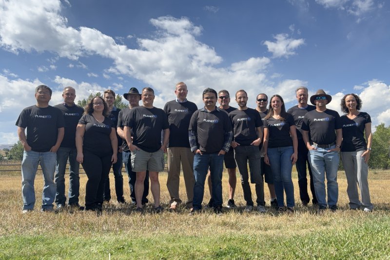
Few companies have contributed more to advancing GNSS-RO technology than PlanetiQ, a privately owned leader in commercial satellite weather data. Founded in 2015, PlanetiQ’s mission was clear: accelerate innovation and deliver higher-quality, higher-volume GNSS-RO data to the world faster than government programs could achieve alone.
PlanetiQ was founded by several members of the GNSS-RO group from Broad Reach Engineering, which designed and built six GPS-RO payloads for the U.S. Air Force and contributed to the original COSMIC mission, as well as several more receivers for KOMPSAT-5, TerraSAR-X, TanDEM-X, PAZ, and others, providing early proof that small satellites could collect high-value atmospheric data from orbit.
PlanetiQ’s fourth-generation Pyxis GNSS-RO receiver extends prior developments, delivering the highest signal-to-noise ratio and the highest rate of RO production per day ever achieved. It penetrates deeper into the lower troposphere, where weather is most dynamic.
Advancing the Science of GNSS-RO
PlanetiQ’s constellation of high-performance satellites captures and processes thousands of RO profiles each day. Each measurement, derived from the bending angle and Doppler shift of a GNSS signal, reveals refractivity profiles that can be translated into temperature, pressure, and humidity data with remarkable accuracy.
The company’s superior SNR and clock stability enable deeper, more reliable measurements of the location of the top of the boundary layer, normally between 400 and 4,000 meters, and whether or not the boundary layer contains a phenomenon called ducting. Prior instruments’ data inside the boundary layer were mostly discarded. PlanetiQ is building the tools to use this data for research and operations.
Using higher SNR data inside the boundary layer allows meteorologists and modelers to better predict extreme weather events and track climate trends, while higher clock stability enables better ionospheric nowcasting and space weather analysis.
Real-World Applications
GNSS-RO data are now a cornerstone of modern atmospheric observation, with broad impact across numerous sectors.
- Weather Forecasting and Climate Modeling: Improves global forecast accuracy and supports long-term climate monitoring.
- Aviation and Transportation: Enhances turbulence prediction, wind profiles, and contrail forecasting.
- Energy and Renewables: Strengthens wind and solar power forecasting for optimized energy production.
- Agriculture and Commodities: Provides precise temperature and moisture data for crop modeling and market analysis.
- Insurance and Reinsurance: Supports severe weather prediction and risk assessment.
- Government and Defense: Improves public safety, disaster response, and space weather monitoring.
NOAA’s Historic Partnership with PlanetiQ
In 2025, PlanetiQ’s leadership in GNSS-RO was validated when the National Oceanic and Atmospheric Administration (NOAA) awarded the company the largest commercial satellite weather data contract in U.S. history, worth over $24 million. The agreement marked a turning point not only for PlanetiQ but also for the operational adoption of commercial GNSS-RO as a critical input to national weather forecasting systems.
This milestone reflected decades of dedication by PlanetiQ’s team to make GNSS-RO data both scientifically rigorous and operationally reliable.
The Future of GNSS-RO and Atmospheric Science
PlanetiQ continues to expand its constellation and enhance its data products to meet the growing global demand for high-quality atmospheric observations. The company is investing in new scientific applications, increasing its constellation of satellites, and building partnerships aimed at unlocking deeper insights into weather, climate, and environmental change.
With each new satellite and every new dataset, PlanetiQ reaffirms its mission to transform satellite signals into actionable insights that protect lives, property, and the planet.
Conclusion
From the first GPS-MET experiment to today’s advanced GNSS-RO constellations, the evolution of radio occultation represents one of the most profound advances in atmospheric science. By combining technical innovation with scientific rigor, PlanetiQ has turned that potential into operational reality, delivering the world’s highest-quality GNSS-RO data and setting new standards for accuracy, reliability, and impact.
Through its continued leadership, PlanetiQ ensures that GNSS-RO remains not just a scientific tool but a global resource for resilience in a changing climate.


Comments are closed.