At the 2026 American Meteorological Society Annual Meeting in Houston, PlanetiQ scientists and engineers led four presentations showcasing the expanding capabilities of our GNSS radio occultation (RO) constellation and its growing impact across weather and space weather applications.
Updates on PlanetiQ Capabilities
PlanetiQ currently operates a constellation of satellites delivering thousands of neutral atmosphere RO profiles ionospheric profiles per day with pole-to-pole coverage. Since 2021, we have collected more than two million atmospheric and ionospheric profiles from GPS, GLONASS, Galileo, and BeiDou-3.
Our high SNR receivers reduce noise and extend profiling capability to higher altitudes into the lower mesosphere and eliminate biases in RO profiles of the lower troposphere and boundary layer. This performance is critical for detecting ducting conditions and improving vertical resolution in the planetary boundary layer, an area identified by the National Academy of Sciences and NASA as essential for advancing weather, climate, and weather prediction.
We also highlighted our new Level-2 neutral atmosphere processing system, enhanced ionospheric processing with reduced latency, and ongoing work in electron density profiling and scintillation event detection.
Advancing Space Weather Observations
A dedicated presentation focused on PlanetiQ’s ionospheric and space weather capabilities, including Total Electron Content (TEC), electron density profiles (EDP), sporadic E layers, and scintillations.
PlanetiQ’s receivers continuously monitor amplitude and phase scintillation statistics (S4 and sigma phi) across all GNSS satellites in view. When scintillations are detected, high-rate complex samples are downlinked to geolocate ionospheric irregularities along the signal path that are causing the scintillations. Our pole-to-pole coverage complements low-latitude missions such as COSMIC-2 and has revealed strong high-latitude scintillation activity, including during the May 2024 Gannon Storm.
We also presented advances in calibration techniques to remove the effects of local multipath and transmitter/receiver differential code biases on the TEC observations, and our efforts to assimilate TEC and EDP data into RIPE, the Regional Ionospheric Profile Estimator. Analysis of our high-rate scans through the lower ionosphere shows sporadic E (Es) occurring at roughly 2.5 times the rate reported in previous GNSS RO studies.
Latency remains a priority. With additional ground stations and optimized processing, we meet NOAA’s 30-minute median TEC latency requirement, with future satellite-to-satellite links under development to reduce latency to just minutes.
Enabling Boundary Layer Assimilation in JEDI
Another presentation addressed a longstanding challenge in numerical weather prediction: assimilating RO data in the lower troposphere and boundary layer (LTBL).
Despite RO’s unique strengths of high vertical resolution, all-weather capability, and unbiased global coverage, most NWP systems avoid assimilating RO in the boundary layer due to numerical instability in sharp refractivity gradients and ducting conditions. As a result, critical information in the lowest kilometer of the atmosphere, particularly around hurricanes, is often unused.
With funding from the U.S. Air Force PlanetiQ is implementing a solution within JEDI to overcome this limitation. This effort focuses in particular on developing a solution that works under ducting conditions, where the problem is ill-posed because a single observed bending angle profile is consistent with a continuum of refractivity profiles.
Very high-SNR GNSS RO observations are essential for routinely probing the LTBL to the surface with unbiased bending angle profiles, detecting and characterizing ducting, and measuring the grazing reflections needed to resolve ducting ambiguities. Over 95% of PlanetiQ’s high-SNR RO profiles over the oceans capture these grazing reflections.
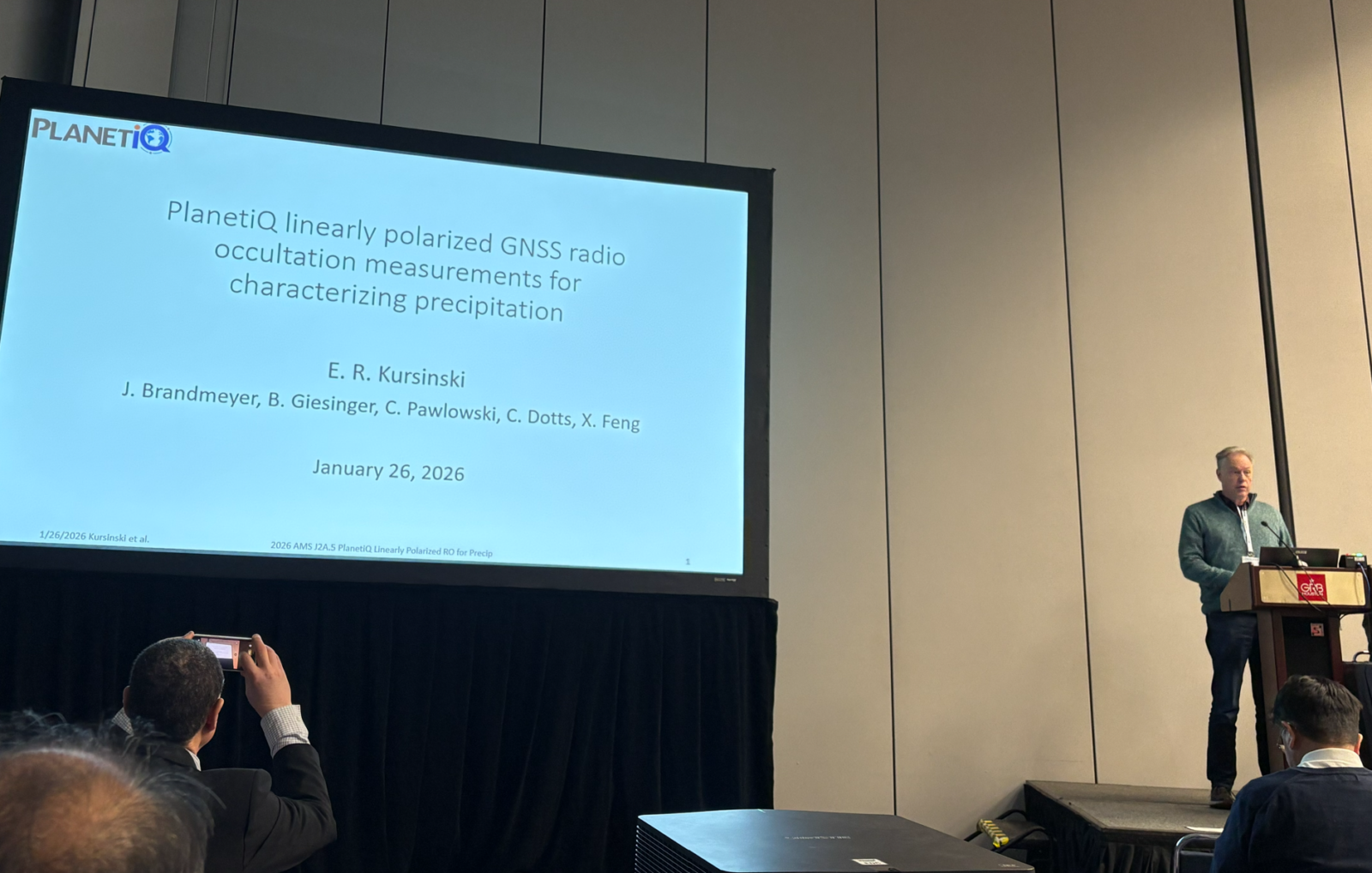
Polarized RO for Measuring Precipitation
Finally, we presented results from our newest capability: polarized GNSS radio occultation (PRO).
Multiple satellites in the PlanetiQ constellation of satellites carry high-gain dual linear polarization antennas, enabling collection of thousands of polarized RO profiles per day. These measurements detect the differential phase delay between horizontal and vertical polarizations caused by flattened hydrometeors, providing quantitative vertical profiles of heavy rain, snowfall, and certain cloud types.
This capability builds on the ROHP experiment flown on the Spanish PAZ mission and represents some of the highest-SNR dual-polarization RO measurements achieved to date.
We presented initial calibration and retrieval results, noise floor determinization when no precipitation is present, comparisons with IMERG and ERA5 snowfall cases, and assessments of sensitivity across land and ocean. Importantly, polarized RO measurements are largely insensitive to surface conditions and emissivity variations, enabling truly global precipitation profiling.
We plan to give an encore presentation of this research in an upcoming PlanetiQ webinar. Stay tuned!


Comments are closed.